Coast View & Cardiac Hill Loop
Climb out of the redwood canyon, top out at a ridge with an open Pacific view, and loop back through old growth. If you want the view Muir Woods visitors never see, this is the hike.
Coast View Trail to Cardiac Hill Loop
What Cardiac Hill Is
Cardiac is a saddle at 1,300 feet elevation on the shoulder of Mount Tamalpais, named — reputedly — for the effect the final climb has on unprepared hikers. It is the high point on the Dipsea Trail race course and one of the few spots in Muir Woods where you can see the Pacific Ocean.
From Cardiac on a clear day you look west over the Marin coast to Stinson Beach and Point Reyes, south to the Golden Gate and San Francisco, and east to the rest of Mount Tamalpais. This is the best view you can earn from inside Muir Woods boundaries.
Route Description
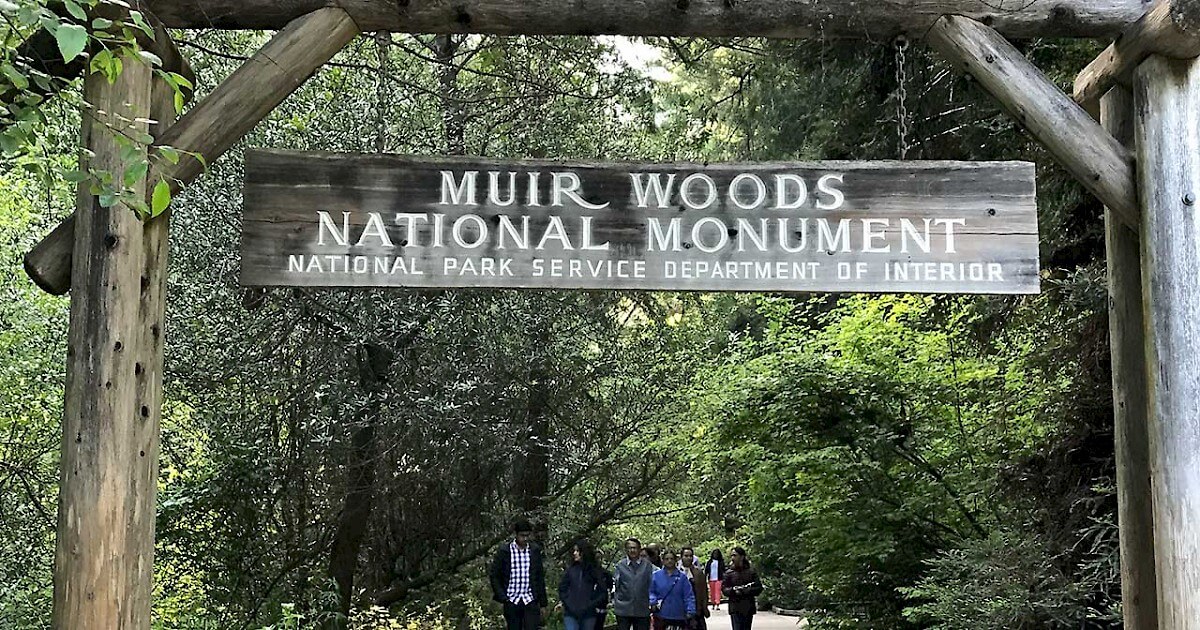
0 to 0.5 mile — Muir Woods main trail to Dipsea. From the Muir Woods main parking lot, cross the Dipsea bridge (right side of the lot) and follow the Dipsea Trail across Muir Woods Road. The climb begins immediately.
0.5 to 2 miles — Dipsea ascent to Cardiac. The Dipsea Trail climbs steadily through mixed forest, opening to grassland as you gain elevation. At mile 1.5 the trail steepens significantly — this is the section called Cardiac Hill. Tread is dirt with some exposed roots. The ridge levels out at roughly 1,300 feet.
2 to 2.2 miles — Cardiac viewpoint. A small clearing with weathered benches, roughly where the Dipsea Race water station sits. Take photos. Drink water. Eat a snack. On clear days the ocean view is remarkable. On foggy days you are standing in the cloud.
2.2 to 4 miles — Coast View Trail. From Cardiac, the Coast View Trail (sometimes still called the Panoramic Trail on older maps) turns east and contours along the ridge. This is the least-used section — you may not see another hiker. The trail drops gently through chaparral and oak back into redwood forest.
4 to 6 miles — Ben Johnson Trail descent. At the junction with Ben Johnson Trail, turn left. Ben Johnson descends through old-growth redwood — arguably the most beautiful redwood stretch in the park — back toward Muir Woods. The tread is steep in places but well-maintained.
6 to 6.7 miles — Main trail return. Ben Johnson meets the main trail near Cathedral Grove. Follow the main trail back to the visitor center.
Why Most Visitors Miss It
Three reasons this view stays uncrowded:
- The climb is no joke. 1,800 feet of elevation over 2 miles is more than casual Muir Woods visitors expect. Most tour groups never come close.
- The trailhead is non-obvious. You access the Dipsea Trail by crossing a small bridge at the far end of the parking lot, not from the main visitor center area.
- The payoff is not described on the park handout. The main Muir Woods paper map shows trails but does not call out the Cardiac viewpoint as a destination.
When to Hike It
The view is only a view when the fog is not in. In summer, the best chances are after 2 PM when the marine layer often lifts, or in the early morning before the fog rolls in. In winter, clear crisp days after storms offer the longest-range visibility.
Avoid the Sunday of the Dipsea Race (second Sunday in June) — the trail is closed to hikers that day.
What to Bring
- Three liters of water per person — there is no water on this loop
- Layered clothing — redwood shade, ridge wind, potential fog
- Trail shoes with real tread — the Cardiac descent and Ben Johnson descent are steep
- Snacks — the loop takes four to five hours at a normal pace
- Sun protection above treeline — the ridge section is fully exposed
Shorter Alternative
If the full loop is more than you want, you can hike Dipsea to Cardiac and return the same way — roughly 4 miles round trip, 1,300 feet of gain, in 2.5 to 3 hours. You get the view without the Ben Johnson descent.